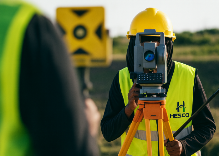
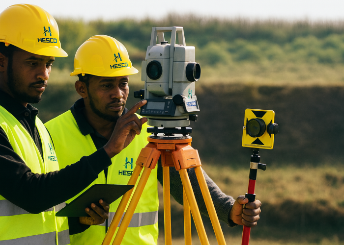
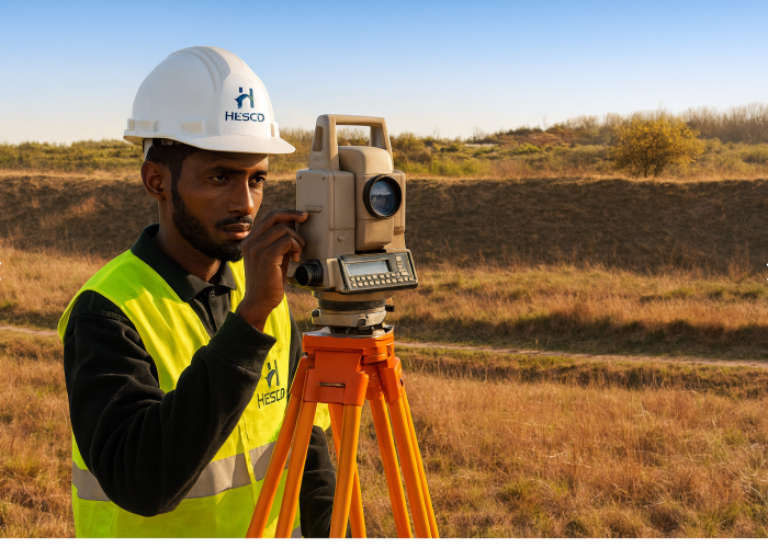
At HESCO, our Surveying & Mapping services provide the critical foundation for all successful construction and infrastructure projects. Using advanced surveying tools and geospatial technologies, we deliver precise land data and detailed topographical information that support accurate planning, design, and execution.
Whether you’re preparing for a residential build, large-scale infrastructure, or agricultural development, we ensure your project starts on solid ground — with clarity, confidence, and compliance.
We provide precise boundary, topographic, and site surveys that reduce construction errors and support informed decision-making.
Our team uses industry-standard tools such as GPS/GNSS, total stations, drones, and digital mapping software for efficient and accurate data collection.
We produce detailed maps that identify terrain levels, natural features, and man-made structures — essential for engineering, drainage, and road planning.
Our surveys are integrated into architectural and engineering workflows, providing baseline data for effective site layout, structural design, and infrastructure development.
We mark exact positions for excavation, foundations, roads, and utilities — helping builders stay aligned with approved designs.
We create geospatial databases and maps to support land-use planning, environmental management, and resource allocation.
All surveying work is conducted in line with local laws, municipal requirements, and professional surveying standards in Somalia.
Our services support residential, commercial, agricultural, industrial, and government projects — from plot subdivision to city-scale planning.
With HESCO, accuracy isn’t optional — it’s the standard. Build with confidence, starting from the ground up.
Looking to start a construction project or need expert engineering support? Fill out the form below and our team will get back to you with a tailored quote based on your project needs.